Route breakdowns
Every report opens with the line walked, the distance and the elevation gained or lost. It is the part you check first when you are deciding whether a day fits.
Orebic Trail Collective is a trail journal and walking club for coastal and mountain routes in South Africa. A small group of hikers walks the paths on foot, then writes down what the day gave them: the route line, the distance and elevation covered, where water shows up, how the ridge feels in wind, and which months suit the traverse.
We work for self-reliant walkers who plan their own days out and read conditions rather than promises. That shapes how a report gets built. Nothing is written from a desk. If a path is overgrown, a marker has faded, or a shortcut saves an hour, it goes in the notes. Gear observations stay narrow and honest: footwear grip on wet rock, pack weight on long approaches, layering for damp coastal air.
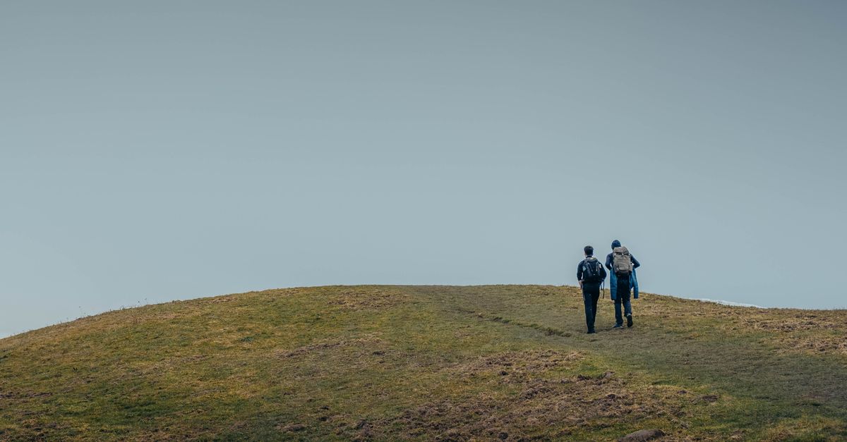
Every report opens with the line walked, the distance and the elevation gained or lost. It is the part you check first when you are deciding whether a day fits.
Notes on where water actually appears along a traverse, and how exposed the ridge sections feel once the wind picks up between the saddles.
Overgrown stretches, faded markers and shortcuts that save an hour, alongside plain notes on footwear, pack weight and layering for wet coastal weather.
Photographs come from club walks rather than stock libraries. Weekend group walks are posted with meeting points and difficulty grades, and walkers can send in their own route notes to add to the journal.
Orebic Trail Collective started because route information for coastal and mountain walks in South Africa was either thin or written by people who had not walked the ground recently. A small group of us kept testing paths on foot and comparing notes afterwards, and the journal grew out of that habit.
We are walkers, not a guiding outfit. Nobody here sells a route, a permit or a promise about conditions. What we publish is what we found on the day, and it is meant for people who plan their own days out and read the terrain rather than the marketing.
Every report comes from a path one of us covered on foot. Distance, elevation and the feel of a ridge in wind are recorded on the walk, not reconstructed afterwards from a map.
Overgrown stretches, faded markers and shortcuts that save an hour get noted plainly. A route is described as it was, including the parts that were slow, wet or harder than expected.
Footwear grip, pack weight and layering for wet coastal weather are written up from what members actually carried, including the choices that turned out badly on slick rock or long sandy approaches.
Routes change between seasons, so we take submissions from people who have just come off a path. Send your own notes and the next walker starts with better information than you had.
We use a small amount of local storage to remember how you respond to this notice. Nothing is shared with third parties, and no tracking runs before you decide. You can read how we handle data in our privacy policy.